GMS:3D Grid Viewing Modes: Difference between revisions
From XMS Wiki
Jump to navigationJump to search
No edit summary |
|||
| (2 intermediate revisions by the same user not shown) | |||
| Line 10: | Line 10: | ||
=== Switching Modes === | === Switching Modes === | ||
A command is provided in the ''View'' menu for switching between the orthogonal and general viewing modes. If the current mode is orthogonal, the menu command | A command is provided in the ''View'' menu for switching between the orthogonal and general viewing modes. If the current mode is orthogonal, the menu command titled '''Ortho Mode''' is selected. If the current mode is general, the command titled '''General Mode''' is selected. There is also a toolbar Macro that can be used to switch the mode . | ||
=== Mini-Grid Plot === | === Mini-Grid Plot === | ||
When in | When in orthogonal mode, the '''Mini-Grid Plot''' is activated in the [[GMS:Toolbars|Tool Palette]]. The plot shows which row, column, or layer is currently being displayed. The edit field and arrows just beneath the plot can be used to change the current row, column, or layer. To change the view, select one of the '''View Along I Axis''', '''View Along J Axis''', or '''View Along K Axis''' macros at the bottom of the Tool Palette. | ||
=== True Layer Mode === | === True Layer Mode === | ||
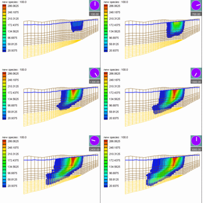
With [[GMS:MODFLOW|MODFLOW]] models, a special option called the '''True Layer''' mode is available. If this mode is selected, | With [[GMS:MODFLOW|MODFLOW]] models, a special viewing option called the '''True Layer''' mode is available. <!--If this mode is selected,--> MODFLOW includes a set of top and bottom elevation arrays for each layer. These arrays can be edited using the [[GMS:Global Options/Basic Package#Top_Elevation|''Top Elevation'']] and [[GMS:Global Options/Basic Package#Bottom_Elevation|''Bottom Elevation'']] arrays accessed through the ''MODFLOW Global/Basic Package'' dialog. These arrays can be used to display the vertical variations in the stratigraphy when in one of the side views in orthogonal viewing mode or when in oblique view in general mode. The ''True layer display'' option is found on the ''3D Grid'' tab of the ''Display Options'' dialog. That option controls the display of the vertical variations in stratigraphy based on data from the MODFLOW elevation arrays. | ||
{{Navbox GMS}} | {{Navbox GMS}} | ||
[[Category:3D Grid|View]] | [[Category:3D Grid|View]] | ||
