Polygons from Index Raster Tool: Difference between revisions
From XMS Wiki
Jump to navigationJump to search
(Created page with "__NOINDEX__ {{Polygons from Index Raster}} {{Navbox SMS}} Category:Toolbox") |
No edit summary |
||
| (One intermediate revision by one other user not shown) | |||
| Line 4: | Line 4: | ||
{{Navbox SMS}} | {{Navbox SMS}} | ||
[[Category:Toolbox]] | [[Category:Toolbox Coverages]] | ||
[[Category:Coverages GMS Toolbox]] | |||
Latest revision as of 16:38, 3 May 2024
Polygons from Index Raster
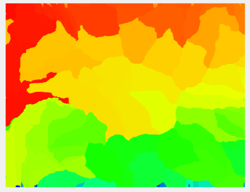
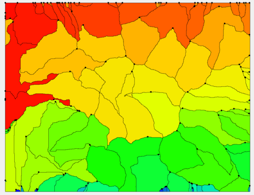
The Polygons from Index Raster tool converts index (normally integer-valued) raster data to polygons.
Input Parameters
- Input index raster – Select the input index raster.
Output Parameters
- Index polygon coverage – The output polygon coverage created from the index raster.
Current Location in toolbox
Coverages/Polygons from Index Raster
| [hide] SMS – Surface-water Modeling System | ||
|---|---|---|
| Modules: | 1D Grid • Cartesian Grid • Curvilinear Grid • GIS • Map • Mesh • Particle • Quadtree • Raster • Scatter • UGrid |  |
| General Models: | 3D Structure • FVCOM • Generic • PTM | |
| Coastal Models: | ADCIRC • BOUSS-2D • CGWAVE • CMS-Flow • CMS-Wave • GenCade • STWAVE • WAM | |
| Riverine/Estuarine Models: | AdH • HEC-RAS • HYDRO AS-2D • RMA2 • RMA4 • SRH-2D • TUFLOW • TUFLOW FV | |
| Aquaveo • SMS Tutorials • SMS Workflows | ||

