Polygons from Index Raster Tool
From XMS Wiki
This is the approved revision of this page, as well as being the most recent.
Jump to navigationJump to search
Polygons from Index Raster
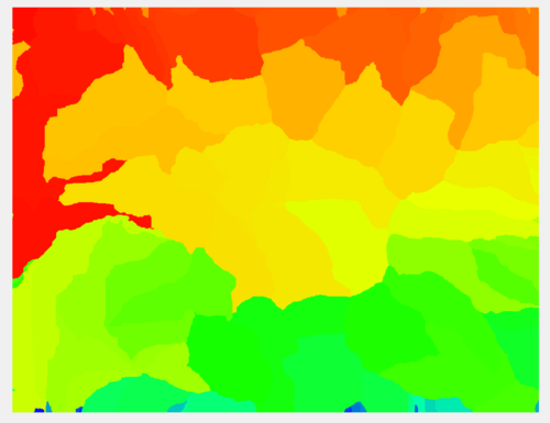
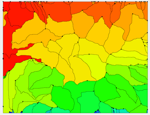
The Polygons from Index Raster tool converts index (normally integer-valued) raster data to polygons.
Input Parameters
- Input index raster – Select the input index raster.
Output Parameters
- Index polygon coverage – The output polygon coverage created from the index raster.
Current Location in toolbox
Coverages/Polygons from Index Raster
| [hide] SMS – Surface-water Modeling System | ||
|---|---|---|
| Modules: | 1D Grid • Cartesian Grid • Curvilinear Grid • GIS • Map • Mesh • Particle • Quadtree • Raster • Scatter • UGrid |  |
| General Models: | 3D Structure • FVCOM • Generic • PTM | |
| Coastal Models: | ADCIRC • BOUSS-2D • CGWAVE • CMS-Flow • CMS-Wave • GenCade • STWAVE • WAM | |
| Riverine/Estuarine Models: | AdH • HEC-RAS • HYDRO AS-2D • RMA2 • RMA4 • SRH-2D • TUFLOW • TUFLOW FV | |
| Aquaveo • SMS Tutorials • SMS Workflows | ||

