WMS:Quick Tour - Land Use: Difference between revisions
From XMS Wiki
Jump to navigationJump to search
No edit summary |
No edit summary |
||
| (One intermediate revision by the same user not shown) | |||
| Line 8: | Line 8: | ||
[[WMS:Quick Tour - Creating Watershed Models Directly| '''< Previous''']] | [[WMS:Quick Tour - Soil| ''' Next >''']] | [[WMS:Quick Tour - Creating Watershed Models Directly| '''< Previous''']] | [[WMS:Quick Tour - Soil| ''' Next >''']] | ||
[[Category:WMS Quick Tour| | |||
{{WMSQuick}} | |||
[[Category:WMS Quick Tour|Land use]] | |||
Latest revision as of 15:51, 11 April 2017
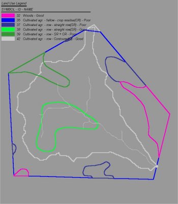
Land use layers can be imported and used to map curve numbers, runoff coefficients, or other important hydrologic modeling properties.


