GMS:Boreholes: Difference between revisions
From XMS Wiki
Jump to navigationJump to search
(Noted synthetic boreholes as an option) |
(→Stratigraphy: Noted bottom of boreholes is considered no-flow zone) |
||
| Line 14: | Line 14: | ||
===Stratigraphy=== | ===Stratigraphy=== | ||
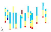
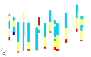
Stratigraphy data are used to represent soil layers that are encountered in a soil boring. The soil layers are represented using contacts and segments as shown below. A segment represents a soil layer and a contact is the interface between two segments. | Stratigraphy data are used to represent soil layers that are encountered in a soil boring. The soil layers are represented using contacts and segments as shown below. A segment represents a soil layer and a contact is the interface between two segments. GMS assumes no-flow bedrock below the bottom of each borehole when generating the stratigraphy. | ||
[[Image:Holes1.png|thumb|none|350 px|Boreholes representing soil stratigraphy with contacts and segments]] | [[Image:Holes1.png|thumb|none|350 px|Boreholes representing soil stratigraphy with contacts and segments]] | ||


