GMS:Solid Module
From XMS Wiki
(diff) ← Older revision | Latest revision (diff) | Newer revision → (diff)
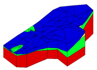
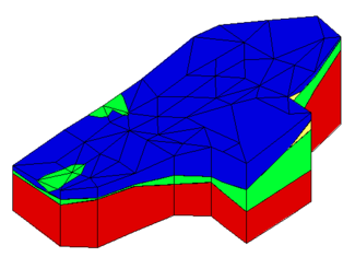
The Solid module of GMS is used to construct three-dimensional models of stratigraphy using solids. The module contains its own set tools and menu commands that can be used to modify solid data. After generating or importing solids into the project, properties for solid data can be viewed and edited. The module also has its own display options for convenience in visualizing solid data.
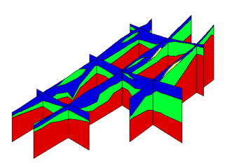
Once such a model is created, cross sections can be cut anywhere on the model to create fence diagrams.
Solids are used for site characterization and visualization. Solids can also be used to define layer elevation data for MODFLOW models using the Solids → MODFLOW command or Solids to HUF and to define a layered 3D mesh using the Solids → Layered Mesh.
| [hide]GMS – Groundwater Modeling System | ||
|---|---|---|
| Modules: | 2D Grid • 2D Mesh • 2D Scatter Point • 3D Grid • 3D Mesh • 3D Scatter Point • Boreholes • GIS • Map • Solid • TINs • UGrids | |
| Models: | FEFLOW • FEMWATER • HydroGeoSphere • MODAEM • MODFLOW • MODPATH • mod-PATH3DU • MT3DMS • MT3D-USGS • PEST • PHT3D • RT3D • SEAM3D • SEAWAT • SEEP2D • T-PROGS • ZONEBUDGET | |
| Aquaveo | ||
This article is a [stub]. You can help xmswiki by expanding it.
Hidden category:


