SMS:Quick Tour - Datasets
From XMS Wiki
Jump to navigationJump to search
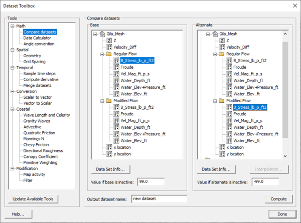
Large data arrays in SMS are organized as "datasets." A dataset is a set of vector or scalar values associated with a mesh, grid, or scatter point set. Datasets can be steady state or transient (multiple time steps). Most datasets represent model solutions but datasets also result from interpolation and operations on existing datasets. Contour displays are based on the active dataset for an object. Datasets are managed using the Project Explorer. Datasets can be manipulated using Dataset Toolbox.
| [hide] SMS – Surface-water Modeling System | ||
|---|---|---|
| Modules: | 1D Grid • Cartesian Grid • Curvilinear Grid • GIS • Map • Mesh • Particle • Quadtree • Raster • Scatter • UGrid |  |
| General Models: | 3D Structure • FVCOM • Generic • PTM | |
| Coastal Models: | ADCIRC • BOUSS-2D • CGWAVE • CMS-Flow • CMS-Wave • GenCade • STWAVE • WAM | |
| Riverine/Estuarine Models: | AdH • HEC-RAS • HYDRO AS-2D • RMA2 • RMA4 • SRH-2D • TUFLOW • TUFLOW FV | |
| Aquaveo • SMS Tutorials • SMS Workflows | ||

