WMS:Image Gallery: Difference between revisions
From XMS Wiki
Jump to navigationJump to search
No edit summary |
|||
| (4 intermediate revisions by the same user not shown) | |||
| Line 4: | Line 4: | ||
All these images have the background color set to black. | All these images have the background color set to black. | ||
<gallery widths="350px" heights="220px" perrow="5"> | |||
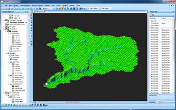
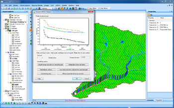
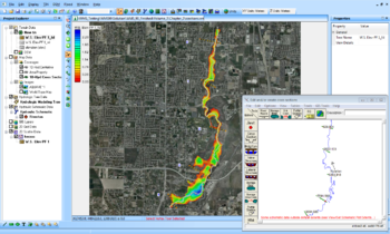
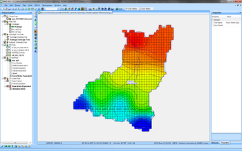
Image:GsshaGw_b.png|GSSHA groundwater model with stream depths. | |||
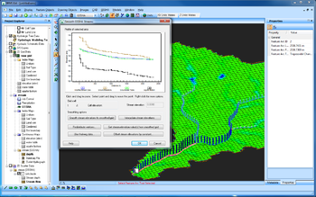
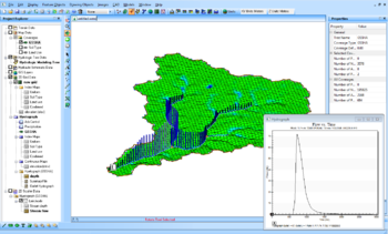
Image:GsshaSmoothStreams_b.png|GSSHA groundwater model with stream smoothing dialog. | |||
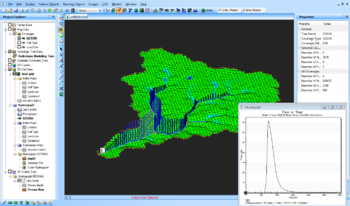
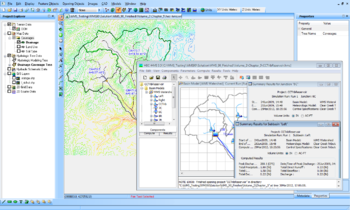
Image:Gssha14x9 1b.PNG|GSSHA runoff simulation, with hydrograph. | |||
<!--Image:Google1.PNG|WMS 9.0, exporting simulation into Google Earth.--> | |||
</gallery> | |||
==White background== | ==White background== | ||
Same as above but with the background color set to white. | Same as above but with the background color set to white. | ||
<gallery widths="350px" heights="220px" perrow="5"> | |||
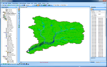
Image:GsshaGw_w.png|GSSHA groundwater model with stream depths. | |||
Image:GsshaSmoothStreams_w.png|GSSHA groundwater model with stream smoothing dialog. | |||
Image:Gssha14x9 1w.PNG|GSSHA model with with hydrograph. | |||
Image:Hmswms1.PNG|WMS 9.0 and HEC-HMS. | |||
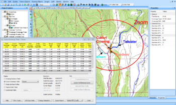
Image:Hy8wms1.PNG|WMS 9.0 and HY-8. | |||
Image:Wmsras1.PNG|WMS 9.0 and HEC-RAS. | |||
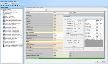
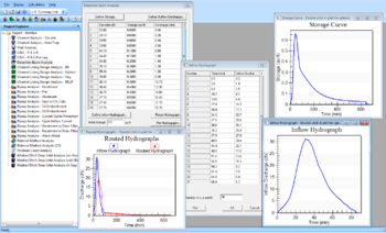
Image:Hydtoolbox1.PNG|Hydraulic Toolbox, Channel Lining Design Analysis – Gabion. | |||
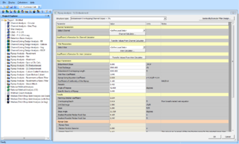
Image:Hydtoolbox2.PNG|Hydraulic Toolbox, Riprap Analysis – 5:1 Embankment. | |||
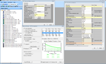
Image:Hydtoolbox3.PNG|Hydraulic Toolbox, Rational Method Analysis. | |||
Image:Hydtoolbox4.PNG|Hydraulic Toolbox, Detention Basin Analysis. | |||
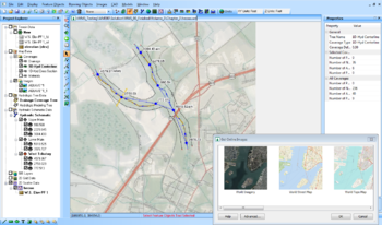
Image:Onlineimages14x9 1.PNG|WMS 9.0 using online images. | |||
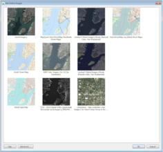
Image:Onlineimages14x9 2.PNG|WMS 9.0 new Get Online Images window. | |||
File:ModClarkDssGriddedParameters.png|WMS 10.0 | |||
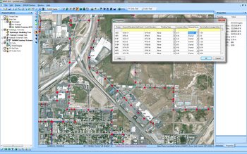
File:EpaSwmmSanitarySewerModeling.png|WMS 10.0 | |||
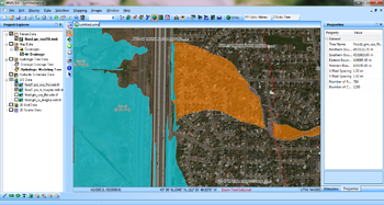
File:FemaFloodMapImages.png|WMS 10.0 | |||
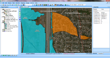
File:FemaFloodBoundaryLines.png|WMS 10.0 | |||
</gallery> | |||
{{WMSMain}} | {{WMSMain}} | ||
[[Category:Images|WMS]] | [[Category:Images|WMS]] | ||
[[Category:WMS Images]] | [[Category:WMS Images]] | ||
[[Category:Gallery]] | |||
Latest revision as of 22:18, 20 December 2019
Various images generated by WMS. Please follow these guidelines when posting images.
Black background
All these images have the background color set to black.
White background
Same as above but with the background color set to white.
WMS – Watershed Modeling System | ||
|---|---|---|
| Modules: | Terrain Data • Drainage • Map • Hydrologic Modeling • River • GIS • 2D Grid • 2D Scatter |  |
| Models: | CE-QUAL-W2 • GSSHA • HEC-1 • HEC-HMS • HEC-RAS • HSPF • MODRAT • NSS • OC Hydrograph • OC Rational • Rational • River Tools • Storm Drain • SMPDBK • SWMM • TR-20 • TR-55 | |
| Toolbars: | Modules • Macros • Units • Digitize • Static Tools • Dynamic Tools • Drawing • Get Data Tools | |
| Aquaveo | ||
