WMS:Image Gallery: Difference between revisions
From XMS Wiki
Jump to navigationJump to search
No edit summary |
|||
| Line 1: | Line 1: | ||
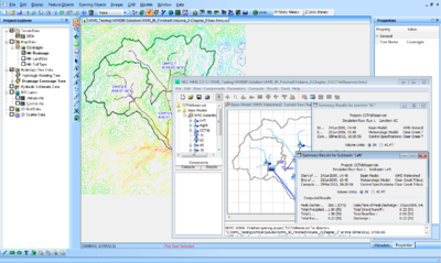
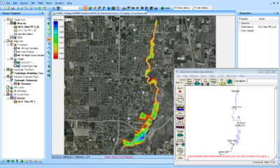
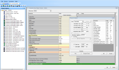
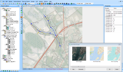
Various images generated by WMS | Various images generated by WMS. Please follow [[Image_Gallery_Guidelines|these guidelines]] when posting images. | ||
==Black background== | ==Black background== | ||
Revision as of 14:16, 3 June 2014
Various images generated by WMS. Please follow these guidelines when posting images.
Black background
All these images have the background color set to black.
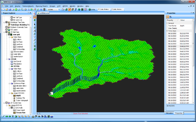
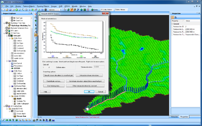
File:Google1.PNG WMS 9.0, exporting simulation into Google Earth. |
White background
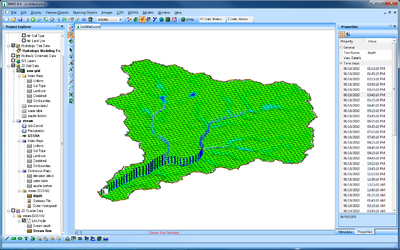
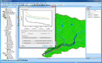
Same as above but with the background color set to white.
| [hide] WMS – Watershed Modeling System | ||
|---|---|---|
| Modules: | Terrain Data • Drainage • Map • Hydrologic Modeling • River • GIS • 2D Grid • 2D Scatter |  |
| Models: | CE-QUAL-W2 • GSSHA • HEC-1 • HEC-HMS • HEC-RAS • HSPF • MODRAT • NSS • OC Hydrograph • OC Rational • Rational • River Tools • Storm Drain • SMPDBK • SWMM • TR-20 • TR-55 | |
| Toolbars: | Modules • Macros • Units • Digitize • Static Tools • Dynamic Tools • Drawing • Get Data Tools | |
| Aquaveo | ||
