GMS:Add Data: Difference between revisions
From XMS Wiki
Jump to navigationJump to search
No edit summary |
|||
| Line 1: | Line 1: | ||
{{GIS links}} | {{GIS links}} | ||
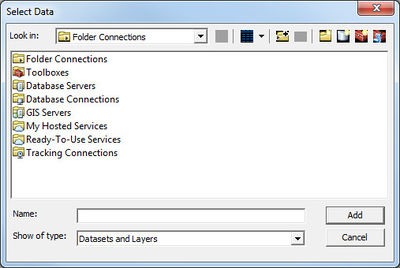
GMS provides two options for adding GIS data: '''Add Shapefile Data''' and '''Add Data'''. The first option can be used without a license of | GMS provides two options for adding GIS data: '''Add Shapefile Data''' and '''Add Data'''. The first option can be used without a license of ArcView®. The second option is only available with an ArcView® License. | ||
GIS data cannot be imported using the '''Open''' command unlike most other data types in GMS. | GIS data cannot be imported using the '''Open''' command unlike most other data types in GMS. | ||
