Category:SMS Map Dialogs
From XMS Wiki
Jump to navigationJump to search
Files and articles related dialogs in the Map module in SMS.
Pages in category "SMS Map Dialogs"
The following 29 pages are in this category, out of 29 total.
J
S
Media in category "SMS Map Dialogs"
The following 65 files are in this category, out of 65 total.
- 2D Mesh Poly Properties.png 697 × 485; 24 KB
- ActvityClassification.png 265 × 156; 5 KB
- ADCIRC DomainOptions.png 274 × 357; 9 KB
- ADH Vessel.png 337 × 484; 18 KB
- ADH VesselNode.png 245 × 147; 3 KB
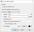
- ArcAnnotationOptions.png 379 × 353; 14 KB
- Bridge Scour Welcome.png 383 × 312; 15 KB
- BridgeScourAdvancedOptions.png 300 × 616; 29 KB
- BridgeScourArcAtt.png 325 × 482; 15 KB
- BridgeScourCoverageProp.png 342 × 694; 42 KB
- BridgeScourCoverageProperties.png 584 × 752; 33 KB
- BridgeScourDefaultOpts.png 359 × 296; 14 KB
- BridgeScourScenarioCritiVel.png 362 × 203; 9 KB
- BridgeScourSoilGeneration.png 353 × 230; 7 KB
- BridgeScourValues.png 431 × 474; 22 KB
- CartesianGridArcOptions.png 274 × 211; 5 KB
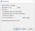
- CleanObjectsOptions.png 408 × 362; 13 KB
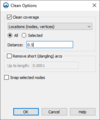
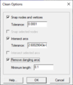
- CleanOptions.png 286 × 342; 10 KB
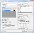
- CompassPlotPropertiesDlg.jpg 528 × 517; 80 KB
- Create Contour Arcs.png 362 × 260; 8 KB
- EditBridgeScourScenario.png 354 × 282; 12 KB
- ExtractFeaturesDialog.png 304 × 409; 15 KB
- Feature Arc Attributes.jpg 258 × 188; 18 KB
- Filter Arc Segments Tool.jpg 285 × 222; 15 KB
- Filter Arcs Tool.jpg 285 × 222; 15 KB
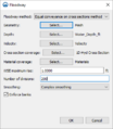
- Floodway dialog in SMS.png 356 × 409; 15 KB
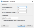
- InterpolateToRasterAdvanced.png 349 × 290; 13 KB
- InterpolateToRasterIDW.png 361 × 539; 23 KB
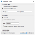
- InterpolateToRasterLinear.png 387 × 388; 17 KB
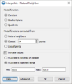
- InterpolateToRasterNaturalNeighbor.png 354 × 407; 19 KB
- InterpolationSourceAndOptions.png 502 × 184; 10 KB
- Land Polygon Attributes.png 274 × 199; 5 KB
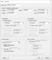
- Map to 2D grid.png 532 × 622; 28 KB
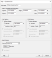
- Map to Quadtree.png 532 × 587; 24 KB
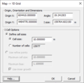
- MapTo1D-Grid.png 371 × 365; 12 KB
- Material List and Properties Dialog.PNG 679 × 315; 13 KB
- OceanPolygonAttributes.png 263 × 156; 4 KB
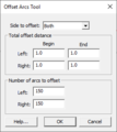
- Offset Arcs Tool.png 271 × 305; 7 KB
- PruneArcs.png 468 × 313; 12 KB
- Redistribute Vertices.png 313 × 440; 16 KB
- River Reach Att.jpg 336 × 425; 25 KB
- SelectArcType.png 352 × 458; 21 KB
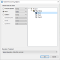
- SelectIntersetingObjects.png 517 × 518; 22 KB
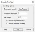
- Smooth Arcs Tool.png 271 × 250; 8 KB
- SMS Clean.png 274 × 318; 12 KB
- SMS CrossSectionFeatures.png 502 × 308; 10 KB
- SMS Get Info Map.png 538 × 405; 14 KB
- SMS Map Display.png 817 × 573; 24 KB
- SMS Map Legend Options.png 402 × 219; 9 KB
- SMS Map to Scatter.png 274 × 446; 17 KB
- SMS NewCoverage.png 355 × 446; 19 KB
- SMS Observation.png 647 × 520; 34 KB
- SMS PlotDataDialog.png 311 × 264; 8 KB
- SMS Select Delete Data.png 476 × 407; 32 KB
- SpecifyArcLength.png 274 × 151; 3 KB
- SpectralEvents.jpg 797 × 592; 93 KB
- Stamp EndCap.png 404 × 601; 24 KB
- Stamp TopWidthSideSlope.png 257 × 190; 4 KB
- StampFeatures.png 281 × 258; 8 KB
- StampingArcAttributes.png 1,036 × 614; 39 KB
- StampingCoverageAttributes.png 257 × 352; 13 KB
- StormAttributes.png 253 × 333; 9 KB
- TimeSeriesEditor.jpg 766 × 542; 104 KB
- Transform Feature Objects.png 452 × 349; 15 KB
- Trim-Extend Arc.png 261 × 129; 4 KB


